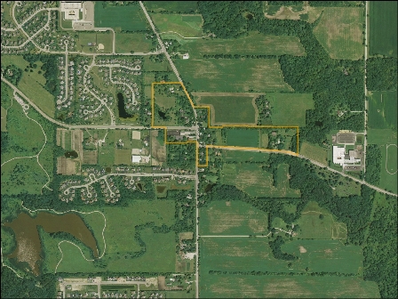
Project Background
U.S. Route 45 in this area serves as a vital north-south link from the Wisconsin border south to Chicago’s northern
suburbs. Existing U.S. Route 45 in this area carries as much as 16,900 vehicles per day on a two lane roadway.
The volume is anticipated to continue increasing in the future as the region continues to grow. The U.S. Route 45
intersections at Millburn Road and Grass Lake Road experience considerable traffic congestion on a daily basis.
On this basis, the Lake County Division of Transportation (LCDOT) in coordination with the Illinois Department of
Transportation (IDOT) initiated Phase I Engineering and Environmental Studies (Phase I Study) to evaluate likely long
term improvement needs for U.S. Route 45 from IL 132 to IL 173 in compliance with the logical termini criteria for
environmental studies, with special focus on the Grass Lake Road and Millburn Road intersections in the vicinity of
the Millburn Historic District.
IDOT had previously studied a US Route 45 bypass of the Millburn Historic District as part of a Strategic Regional
Arterial (SRA) study in the mid-1990s, which included recording a western bypass alignment and right-of-way protection map,
and purchasing one parcel of property within this corridor. In accordance with Federal project development procedures and
the National Environmental Policy Act (NEPA), this Phase I study essentially started from a “clean slate” with respect to
a fresh look at the purpose and need for this project, evaluating a full range of reasonable alternatives for the Millburn
area including the No-Build alternative, and a detailed evaluation of potential environmental impacts. The IDOT recorded
west bypass alignment remained a valid alternative for full consideration as part of this Phase I study. Based on the results
of this Phase I Study, likely ultimate improvements to U.S. Route 45 from IL 132 to IL 173 have been identified, and a
preferred alternative, the west bypass A4, has been chosen for the Grass Lake Road/Millburn Road intersection area for
subsequent plan development and construction.